
Trad Climbing Approach Planning: Step-by-Step Guide
Picture this. John laced up his boots at dawn. Crisp mountain air filled his lungs as sun hit the granite walls above. He aimed for a classic crack route but took the wrong trail. Hours of bushwhacking left him scratched, thirsty, and too beat to climb. That day, poor planning stole his adventure.
Trad climbing approach planning fixes that mess. It means mapping the hike to your route’s base before you go. This keeps you safe and saves time so you climb more.
Trad climbing suits bold folks. You place your own gear, like cams and nuts, into natural rock cracks as you lead up. No bolts here; it’s you against the stone on single-pitch or multi-pitch faces.
The approach often covers one to five miles with steep gain. Skip the planning, and you face wrong turns or dehydration. Plan well, and you dodge loose rock or storms.
Good prep lets you reach top routes faster. You save energy for pulls on perfect cracks. Enjoy extra climbs instead of endless scrambles.
It turns scary off-trail pushes into simple hikes. You breathe easy with water packed and beta printed.
In this step-by-step guide, we’ll break down how to plan your next approach right. Stick with us, and your trad days get smoother.
Why Good Approach Planning Saves Your Trad Climb
Skip solid trad climbing approach planning, and you court trouble. Climbers get lost in thick brush, burn daylight on dead-end trails, hit sudden storms, or twist ankles on loose scree. One report from 30 years of data shows approaches cause real harm, especially in lead styles like trad. Bad choices lead to panic: sweat-soaked shirts, barked shins, frayed nerves as partners argue over faint paths.
Plan right, and you gain big. You climb more pitches with fresh arms. Stress drops. Your partner trusts you more. Picture a calm dawn start, topo in hand, versus cursing through thorns at dusk.
Stay Safe from Falls and Lost Trails
Planning lets you spot hazards first. You mark loose rock bands or sheer drops on your map. Scout poison ivy patches or dicey river crossings from photos and reports.
Take a recent rainy spell. One climber checked forecasts and saw a creek would swell. He picked a higher trail, dodging waist-deep water that trapped others. They turned back wet and chilled. He racked up three pitches instead.
Key safety wins:
- Avoid off-trail falls by sticking to tested routes.
- Time your hike to beat afternoon lightning.
- Pack extras like a first-aid kit after spotting rough spots online.
This prep keeps you on rock, not in the ER. (98 words)
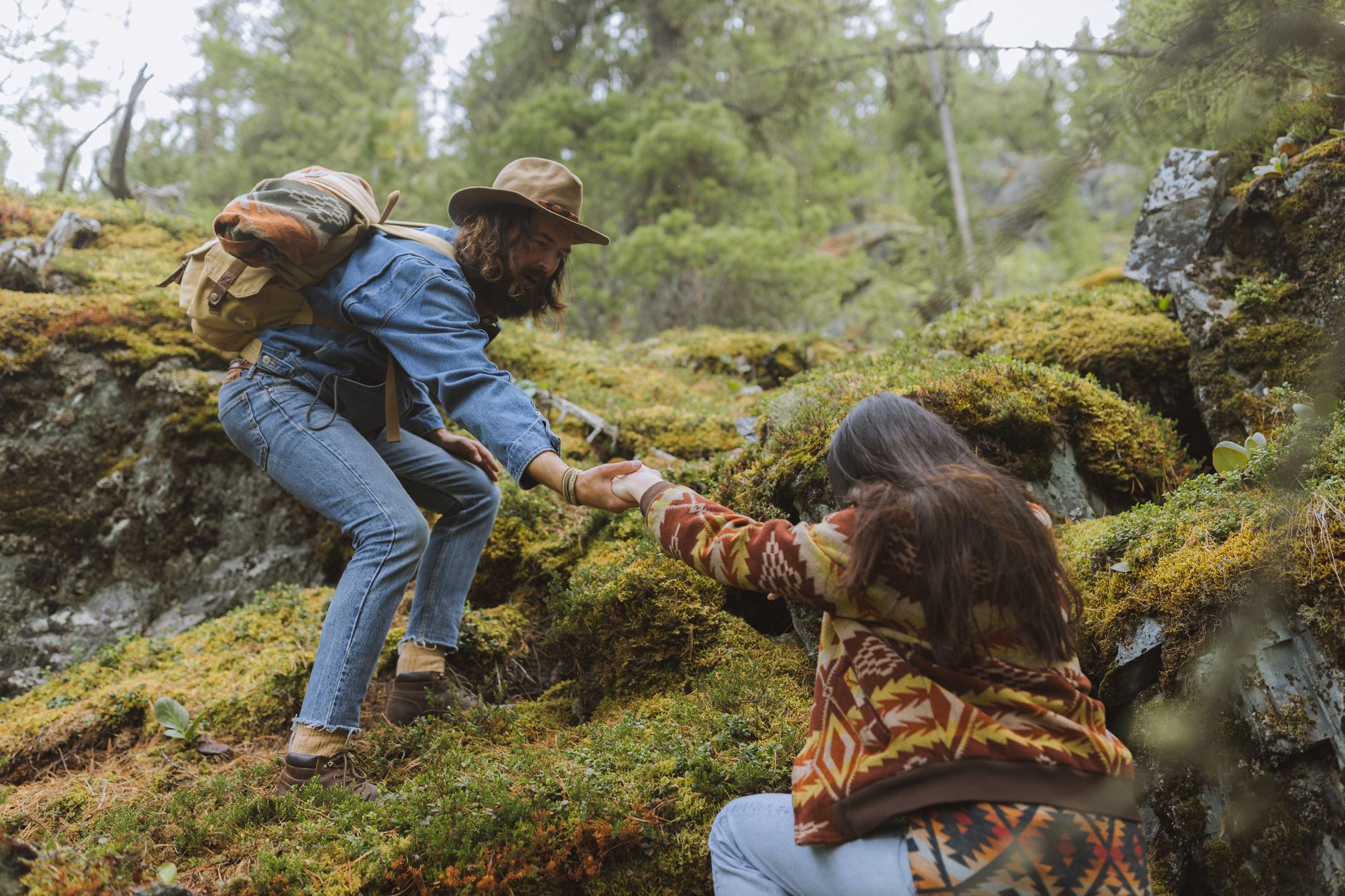
Photo by Yaroslav Shuraev
Save Time for More Pitch Climbing
Unplanned hikes drag on. You bushwhack gullies, backtrack junctions, lose hours to trial and error.
A planned approach shrinks that mess. One team hit a popular crag in two hours flat: GPS track loaded, water stops noted. They knocked out two routes before lunch. Their unplanned buddies? Five hours of frustration, one climb, and early bail.
Here is how it stacks up:
| Approach Style | Time to Base | Pitches Climbed |
|---|---|---|
| Planned | 2 hours | 4-6 |
| Unplanned | 5 hours | 1-2 |
Short hikes mean full days on stone. You link routes, test new cracks, head home pumped. No wasted energy means sharper leads. (102 words)
Step-by-Step Guide to Research Your Trad Approach
Solid trad climbing approach planning starts with smart research. Pick your area first: scan classics like Yosemite Valley or Joshua Tree for routes that match your skills. Note trailhead access right away, like parking spots or shuttle needs. Start weeks early. Popular spots fill fast with permits and shuttles. In Yosemite, grab a free wilderness climbing permit at the kiosk by El Capitan Bridge for overnight big walls; no quotas apply (nps.gov/yose/planyourvisit/climbingpermits.htm). Valley shuttles run year-round but check schedules to skip parking wars. This prep turns vague ideas into a clear path.
Find Reliable Route Beta Online
Hunt for beta on Mountain Project, the top free hub for trad routes. Users post fresh photos of approaches, pinpoint trail splits, and share water spots. Dive into recent trip reports for real talk on conditions. Scroll comments for 2026 gems, like new trails cut after rockfalls or washed-out sections.
Check forums too, such as Mountain Project threads or regional spots. Climbers swap tips on loose dirt or hidden cairns. But watch out: old posts fade fast. Cross-check dates. A five-year-old report might miss fresh overgrowth or closed gates. Print key details or save offline. One climber saved his day by spotting a comment on a rerouted path to Arrowhead in the Tetons. You avoid dead ends that way. Strong beta keeps your hike smooth and your rack ready for cracks. (148 words)
Study Maps and Photos Before You Go
Grab topos and print them big. Mark streams or seeps with highlighters for water stops. Load apps like Gaia GPS, but zoom deep into satellite views on Google Earth for off-trail secrets (alpinesavvy.com/blog/google-earth-screen-grabs-the-best-route-beta-tool). Tilt to 3D. Spot faint climber trails weaving through brush.
Picture this: you eye a gully to Manure Pile Buttress in Yosemite. Pixels reveal a boot-packed line skirting manzanita thickets, invisible on flat maps. Save screenshots with pins at junctions. Pair with route photos for wall views. This combo spots cliffs or mud holes before boot leather hits dirt. Your partners thank you when legs stay fresh for the sharp end. Pack it all in a waterproof map case. Hike confident, climb strong. (152 words)
Best Apps and Tools for Trad Approach Maps
You need solid tools to nail trad climbing approach planning. Apps like Mountain Project for beta, CalTopo for custom maps, Gaia GPS for offline nav, and AllTrails for straightforward trails turn vague hikes into sure bets. Free versions work fine for basics, but paid tiers add layers like weather overlays or premium topos. No major shifts hit in 2026, yet apps keep tweaking forecast views. Phone screens glow easy at camp, letting you pinch-zoom routes over dinner.
These picks shine for layering climber tracks on terrain. Download GPX files from Mountain Project, drop them into CalTopo, and print crisp overviews. Here’s a quick pros/cons breakdown:
| Tool | Free/Paid | Best For | Drawbacks |
|---|---|---|---|
| Mountain Project | Free | Route beta, user GPX | Spotty offline access |
| CalTopo | Free/Premium | Custom topo overlays | Steeper learning curve |
| Gaia GPS | Subscription | Offline maps, GPX import | Yearly fee around $40 |
| AllTrails | Free/Pro | Trail ratings, easy UI | Less climber-specific |
Stack routes like this: Import GPX to CalTopo, trace faint paths on shaded relief, export to Gaia for phone use. You spot bushwhacks before boot leather suffers.
CalTopo and Gaia GPS for Custom Overlays
CalTopo rules for tweaks. Start with USGS topos, overlay GPX from AlpineSavvy. Trace your approach to a Tetons crack: pink line hugs ridges, skirts talus fields. Print weather-proof PDFs on 11×17 paper, laminate for pocket carry. Rain hits? Your map stays sharp.
Gaia GPS pairs perfect. Import that CalTopo GPX, cache offline layers. Phone battery sips power in airplane mode. Example: Overlay beta to Squamish granite. Terrain pops in 3D shading; cairn stacks glow. Download once at trailhead coffee, hike free of signal hunts. Both apps sync waypoints fast. You mark seeps, junctions. Camp review? Screen lights your tent, fingers plot backups. Solid prep means fresh legs for jams. (152 words)
Weather Apps to Pair with Your Maps
Bolt Windy or NOAA onto your stack. Windy paints wind flows in 3D slices over peaks; gusts show red for exposed approaches. Pinpoint that alpine start: 20 mph shear at 8 a.m.? Delay. NOAA nails point forecasts; tap summits for dew points, precip odds.
Winter ups stakes. Check avalanche risk via NOAA backcountry pages or regional centers. Layer snowpack data on Gaia; see wind slabs brewing. One Sierra team scrubbed after Windy flagged 30-inch fresh with poor bonding. They lived. Apps pull hourly models: temperature inversions, freezing levels.
Stack with maps smart. Export Windy radar to CalTopo overlay. Phone pings alerts offline. You sip coffee, thumb forecasts, tweak GPX. Safe calls keep ropes coiled, not rescues launched. (148 words)
Time Your Approach Right for Peak Conditions
Dawn light paints the trail in soft gold as you lace boots tight. Smart trad climbing approach planning hinges on timing. Hit the trail too early in summer heat, and sweat drains your power before cracks call. Start at first glow to beat midday scorch; shade checks matter for exposed ridges. Groups slow pace, so add buffer for chats or rests. Solo hikers move fast but pack extra caution. Match your crew’s fitness to dodge stragglers. Check recent beta for snow patches or slick mud that stretch hikes.
Match Timing to Your Fitness Level
Does a 5-mile push with 2,000 feet gain suit you? Test it first. Pick a local hill for a 3-mile loop with 1,500 feet up. Time yourself loaded with pack and helmet. Aim under 3 hours round trip. If legs burn early, build base with weekly stairs or treadmill inclines.
Use tools like the TrailsNH Hiking Time Calculator for estimates. Plug in distance, gain, and pack weight. Naismith’s Rule adds an hour per 2,000 feet; adjust for your speed.
Quick fitness checks:
- Hike 4 miles, 1,500 feet gain in 2.5 hours.
- Carry 20 pounds; simulate rack and water.
- Recover fast post-hike for belay duty.
Train smart with tips from BMC’s trad guide. Strong legs mean fresh jams on route. (118 words)
Watch for Seasonal Trail Changes
Spring snowmelt turns paths to slush. High routes hold corn snow till June; low trails drown in mud. Step on rocks, not soft spots, to spare fragile soil. Fall leaves bury faint tracks; cairns vanish under orange drifts. Probe with poles for drops.
Season shifts to scout:
- Spring: Skip mud season; wait for firm ground (AMC mud tips).
- Fall: Pack headlamp for early dark; rake leaves reveal junctions.
- Snow beta: Layer apps for patches; microspikes grip ice.
Solo? Double pace time for self-rescue. Partners share load but sync breaks. Time alpine starts for frozen crust; melt softens by noon. Crisp air sharpens focus when trails stay true. (112 words)
Steer Clear of Top Approach Planning Errors
You pack your rack, check the topo, and hit the road full of stoke. Then one small oversight turns your trad climbing approach planning into a grind. Common pitfalls like bad weather reads or spotty signals snag even sharp climbers. Spot them early, fix with simple moves, and your boots hit perfect cracks sooner.
Here are five traps to dodge, each with a quick fix:
- Ignoring weather shifts: Sunny starts flip to storms fast in peaks. Fix it: Layer Windy app forecasts on your maps; bail if gusts top 25 mph on ridges.
- Skipping offline maps: Cell drops vanish in backcountry. Fix it: Cache full routes in Gaia GPS before the trailhead, as climbers swear by for signal black holes (Climbing.com on Gaia GPS).
- Over-trusting GPS in canyons: Tall walls block satellites, stranding you mid-gully. Fix it: Print paper backups; note cairns from beta to bridge dead zones.
- Poor parking plans: Full lots or gates block access. Fix it: Scout lots on satellite views; arrive by 6 a.m. or shuttle in.
- Missing recent beta: Old reports skip washouts. Fix it: Scan Mountain Project comments from last month for fresh path notes.
Nail these, and your approaches flow like a well-run pitch.
Don’t Skip the Offline Download
Deep in remote drainages, cell signals flake out hard. Towers skip wild canyons and high basins; one ridge blocks your bars. I once watched a team spin in circles near Joshua Tree, phones dark, chasing ghost trails as sun dipped. No service means no apps, no beta pulls, just panic and bushwhack scars.
Download everything offline first. Gaia GPS lets you grab topo layers for states at once; save GPX tracks from Mountain Project too (AlpineSavvy on Gaia downloads). Phone in airplane mode sips battery, screen glows cairns at dusk. You stay on line, legs fresh, rack ready. No more lost hours; just granite greets. (102 words)
Conclusion
Solid trad climbing approach planning boils down to smart research, sharp tools, and perfect timing. You scout beta on Mountain Project, layer GPX tracks in CalTopo or Gaia GPS, and sync hikes with weather apps to dodge storms or mud. These steps crush surprises like lost trails or drained energy. You hit the base fresh, rack up pitches, and savor cracks under your fingers.
Plan your next trad trip today. Print that topo, cache offline maps, and test a dawn start. Your legs stay strong for the sharp end; no more bushwhacks steal your stoke.
Trad climbing approach planning keeps you safe and climbing more. Picture the sun dips low. Your silhouette cuts sharp against the summit glow. Rope coils neat at your feet. That’s the reward.
Back to Trad Climbing Basics
Recommended Products for Trad Climbing
These products can support safer climbing, belaying, rappelling, and emergency readiness.
Affiliate disclosure: As an Amazon Associate, TradClimbers may earn from qualifying purchases at no additional cost to you.